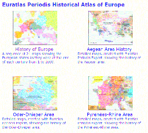
 There’s an interesting site called History and Geography of Europe and the World. It shows maps of different geographical locations at different points in time. For example, you can see what Europe was like in 300AD. Of course it was mostly controlled by the Roman Empire. But then you can click on the map for Europe in 500AD and see how the empire split up.
Check it out! It’s fascinating.
-Mama Lisa
PS Some of the maps, like those of Africa, can be harder to see. You have to pay to see larger versions of the maps. It’s still worth checking the free version. Europe in particular works very well.
Many thanks to Monique Palomares for pointing out this site. Monique works with me on the French and Spanish versions of Mama Lisa’s World.
This article was posted on Friday, February 17th, 2017 at 8:02 pm and is filed under Countries & Cultures, Map Sites, Recommendations, Roman Culture, USA. You can follow any responses to this entry through the RSS 2.0 feed. You can skip to the end and leave a response. Pinging is currently not allowed.
Leave a Reply


